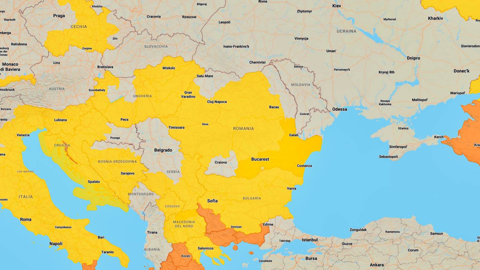
ANM, the National Meteorological Administration, transmits 2 last-minute official meteorological warnings in Romania on April 17, 2024, and through them brings to our immediate attention a series of severe weather phenomena that we should know about right now.
ANM talks below about a yellow code and a meteorological information, both informing us about precipitation in quantities of up to 45 l/m70, accompanied by wind with a speed of up to XNUMX km/h in a gust, so we are highly recommended be very careful when traveling.
WEATHER INFORMATION!
Validity range: April 17.
Targeted phenomena and affected areas: according to the text.
In the mentioned interval, it will temporarily rain, and in the south-eastern half of the territory there will be periods of atmospheric instability, which will be manifested by showers, electrical discharges, isolated hail and storms. In short periods of time or through accumulation, the water quantities will be locally 15...20 l/m30 and isolated 40...XNUMX l/mXNUMX.
The wind will have local and temporary intensifications with speeds generally between 45 and 55 km/h, on Wednesday (April 17) mainly in the southeast, and on Thursday (April 18) especially in the south. There will be gusts of over 70 km/h on the mountain ridges. The weather will cool throughout the country, and at altitudes above 1500 m there will be precipitation in the form of sleet and snow.
CODE YELLOW WEATHER ALERT!
Validity range: April 17.
Targeted phenomena: temporarily increased atmospheric instability.
Affected areas: Muntenia, Dobrogea, southern Moldova, southeastern Transylvania.
In Muntenia, Dobrogea and in the south of Moldova, as well as in the south-east of Transylvania, locally there will be periods of accentuated atmospheric instability. This will be manifested by short-term intensifications of the wind with gusts generally of 60...70 km/h, gales, torrential showers, electrical discharges and in some places hail. In short periods of time or through accumulation, the water quantities will be 25...30 l/m45 and isolated more than XNUMX l/mXNUMX.


