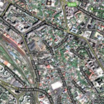
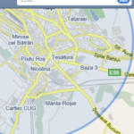
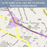
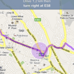
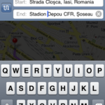
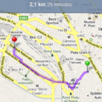
 As you probably already know the application Maps from the phone use GPSits to display your position on the map but also the Internet to load the maps using the service Google Maps. Unfortunately Google Maps offered Romania old maps, with information that was no longer valid and often caused confusion for many users, well recently Google took the bull by the horns and massively updated the maps for Romania, he updated them so well that now you can use the functions of the Maps application, functions that last year for example were completely unusable.
Let's see what goodies we have now in the application Maps :
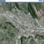
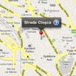
- for starters, updating the maps, I said above that Google managed to update the maps for Romania to a large extent and as we found out today they are quite accurate but the surprises don't stop there, Google announced that this year we will have StreetView in Romania. So any of the 3 modules: Map, Sattelite and Hybid will display updated and correct information for your city (a small parenthesis, I live in Iasi and the maps are accurate, but their accuracy depends on each individual city);
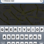
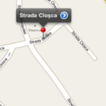
- the second functional feature I discovered today is the Search by street name, it also worked in the past but not so well considering that the maps were quite old and some streets did not appear at all. Now you can quietly search for the name of a street and the Maps application will find it, be careful to enter the name of the city, otherwise it will display the first name found in the search list;
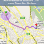
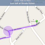
- the last feature is that of calculating the route to the destination, last year this feature was completely unavailable in several cities where I tried to use it, but now in Iasi it works without any problem and is really fast. The route calculation function is divided into 3: route calculation if you want to get there using a car, calculation if you want to get there using a means of transport and route calculation if you want to walk - this feature is completely new and currently in beta, so it may not be 100% accurate.
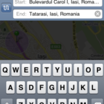
a) calculating the route for drivers: enter the street names, including the city, and the application will calculate the shortest route to get there, the application provides information on the distance and estimated travel time, and in addition to other applications dedicated to navigation, you have the possibility to go step by step step along the route using the arrows in the top bar of the application;
b) calculating the route for pedestrians: a very important feature for those who do not have a car, this feature has recently been introduced in other dedicated navigation applications. The procedure is identical to the one from point a) except that to calculate this route you must choose from the status bar of the application the icon with the walking man.
I don't know how many of you have noticed these changes until now, I only noticed them today because I hadn't opened the application Maps for a few months, I hope they will be useful to you, but before you rely on them, check if your city has the most up-to-date maps and if these options are available.
In conclusion, if you don't have tens of € to spend on applications but you have an internet connection, then the application Maps could become the ideal solution for you, especially since some dedicated applications do not offer route calculation for pedestrians.
UPDATE: The functions are also available in the cities of Botosani, Bucharest, yes there are other cities where you have tried, please let me know.


