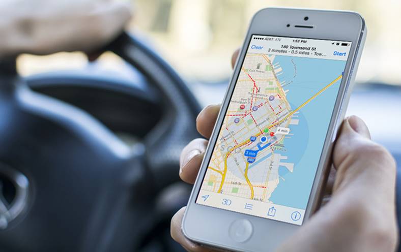
Company Apple Lossless Audio CODEC (ALAC), confirmed last night that it intends to use drones to improve the information available in the platform Apple Maps for customers. Apple will use images recorded from drones to map various locations for Apple Maps, the company will also offer a Street View system similar to the one in Google Maps.
Of course, Apple has also stated that it will respect people's privacy, blurring any kind of faces or registration numbers, just as Google does with Street View. North Carolina is the first American state in which the Apple company managed to get permission from the authorities to use drones for Apple Maps, and will initiate a pilot program there.
Apple Uses Drones to Improve Apple Maps
Apple will record aerial images from various areas of North Carolina to improve Apple Maps, so we're talking about updates that will initially be available only there. Using these aerial images, the Apple company can solve various problems due to which inaccurate information is displayed in Apple Maps in any kind of area.
"Apple is committed to protecting people's privacy, including processing this data to blur faces and license plates prior to publication. A spokesperson for the North Carolina Department of Transportation, another winner, said Apple Inc is among its partners, and Apple said it plans to use the testing program to improve Apple Maps by capturing aerial images."
Apple is one of the first companies that asked the American states for permission to fly over them with drones to improve existing navigation systems. Google will also want to offer something similar, and as Microsoft has a mapping system for Bing, it is expected to do the same in the not too distant future.


