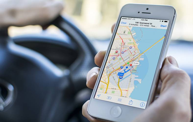
Apple pregateste o surpriza majora pentru Apple Maps in 2017, americanii intentionand sa ne ofere un sistem de localizare in interiorul cladirilor. Cei din Cupertino au acest sistem in dezvoltare de ceva vreme, insa el pare sa fie suficient de bine pregatit pentru a fi oferit utilizatorilor obisnuiti chiar din cursul anului viitor.
Apple vrea sa adauge o sectiune speciala in Apple Maps in care va afisa informatii privind locatii din interiorul cladirilor, iar pentru inceput cladiri importante vor fi cartografiate. Mai exact, vorbim despre aeroporturi, muzee si alte cladiri vizitate de catre foarte multe persoane zilnic, mall-urile si alte cladiri turistice putand fi cartografiate.
Google are deja un sistem de acest gen si a cartografiat interiorul multor cladiri din diverse orase importante de pe planeta, informatiile fiind disponibile in Google Maps. Sistemul a fost lansat de ceva vreme si este foarte apreciat, asa ca Apple trebuie sa ajunga din urma compania Google din acest punct de vedere.
Apple Maps – localizare in cladiri si drone folosite pentru cartografiere
Separat, pentru a imbunatati si mai mult datele din Apple Maps, compania Apple intentioneaza sa foloseasca o “flota” de drone, acestea urmand a colecta date pentru Apple Maps. Aceste drone ar analiza indicatoarele stradale, informatii despre drumurile aflate in lucru si multe alte date, acestea urmand a fi afisate mai apoi in Apple Maps.
Apple ar dezvolta o serie de drone proprii pentru a imbunatati Apple Maps, insa nu va comercializa produse de acest gen, sau cel putin nu acestea sunt planurile acum. Apple foloseste deja automobile, insa dronele ii permit sa acceseze zone care in mod normal nu ar fi chiar atat de usor de accesat, deci vorbim despre o imbunatatire majora pentru culegerea de date.
“Apple Inc. plans to use drones and new indoor navigation features to improve its Maps service and catch longtime leader Google, according to people familiar with the matter. The Cupertino, California-based company is assembling a team of robotics and data-collection experts that will use drones to capture and update map information faster than its existing fleet of camera-and-sensor ladened minivans, one of the people said. “
Cat va dura pana cand toate aceste functii vor fi disponibile, nu stie deocamdata nimeni, asa ca ramane de vazut ce vom primi in viitorul apropiat.


